
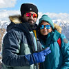
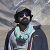

I did Sandhakphu Phalut Trek with Rohit,
Had a wonderful experience with him.
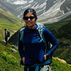
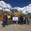
He takes care of all the aspects and had every emergency item carried in his bag pack for all of us (group of 8) including candies too. We heard some of his adventurous stories about his previous treks which made us wanna trek again. Very rarely do we come across youngsters with utmost maturity, principles intact and true to their job. Rohit was all of that. If we do travel soon again, we would definitely contact him to be our leader again.
Thank u Rohit for your perfect leadership and guidance